It’s common knowledge that the best spots to hike around Ipswich are in our two largest conservation areas, Flinders-Goolman and White Rock. But have you traversed them in their entirety? Surely not, these locations are HUGE. Thousands of acres, towering peaks and deep rugged valleys. It’s really quite mind boggling to consider the actual extent of our natural areas.
So let’s amend that! Here’s some of our hidden hiking gems and how to get there.
Gun Pit Ridge
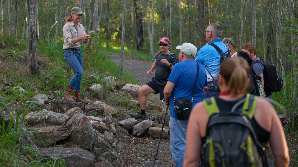
Heading off of the main fire trail that runs from the Paperbark Flats Picnic area to the familiar staircase at the base of white rock, there’s a sneaky little treasure sitting inconspicuously just out of sight.
Underappreciated, unknown to most and just begging to be trekked.
They call this place, Gun Pit Ridge… and I’m actually a little hesitant to give up the goods…
The ridge begins in the White Rock lowlands and stretches up an earthy path of twists, turns and ledges. Staggering ever further in layers of sand and hardy vegetation.
With the track directly passing clusters of incredibly rare and endangered plant species and eventually emerging into the skyline overlooking the estate below – it’s both an intriguing journey and one not without its scenic perks.
But best of all, because the entry to this trail is just far enough out of the way, it’s scarcely used by the vast swaths of people that visit White Rock on an annual basis.
So it’s peaceful, tranquil and virtually devoid of all those bipedal, hominid things we’re all out here trying to avoid.
Previously only accessible on exclusive guided tours, this is now a formalised track providing access to Gunpit Ridge lookout, named for the site’s military history. For more detail on the Gunpit Ridge Track, see the White Rock Spring Mountain Trails Guide.
The trail is approx: 3.12km return, but you will have to walk from the Paperbark Flats Picnic Area, bringing the total return distance to 7.12km. ETA, 3 – 4hrs.
Yaddamun Trail
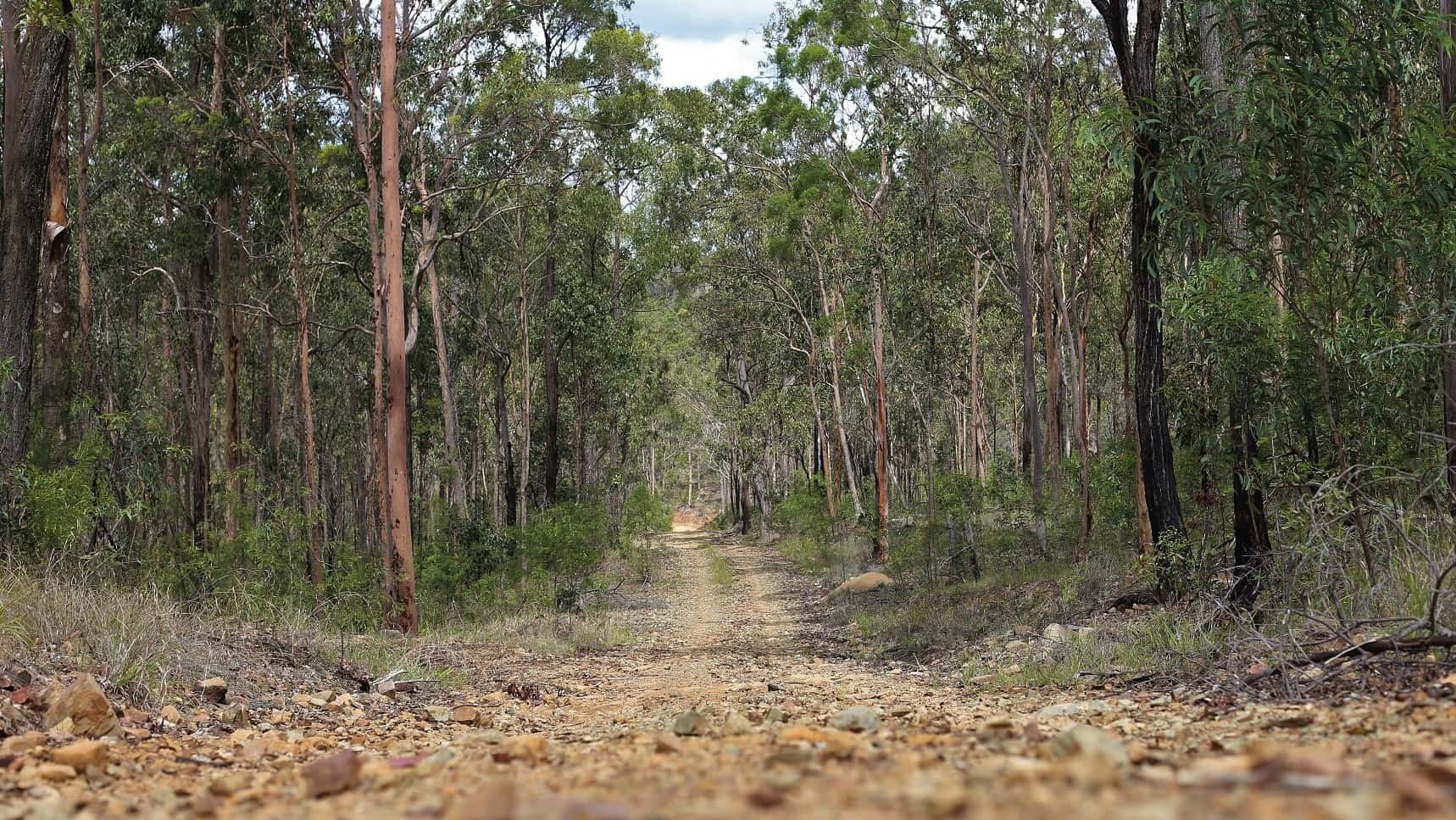
Here we’re stepping it up just that bit further with a full blown 8 hour day hike. So buckle up buckaroo, Yaddamun ain’t no joke.
Beginning at the horse float car park and ending in the same place, this walk stretches some 19km and is one of the more enduring feats on our list. Therefore I’m going to be pretty clear on this one. Do not attempt if you’re new to the hiking game and looking for some super slick selfies for the gram. She’s a simple kind of track that serves one clear purpose and that is the gratification in getting it done.
Apart from that, it’s a great opportunity to escape the world and embark upon a physical challenge. The receptions bad, the foot traffic minimal and the distance far – perfect.
The Yaddamun trail in the White Rock – Spring Mountain Conservation Estate is not a circuit and you will have to return the way you came at the 9.5km mark. While you could continue further onto additional trails, I wouldn’t advise it unless particularly familiar with the estate as a whole. Follow the map and look out for YT trail markers.
Mt Blaine
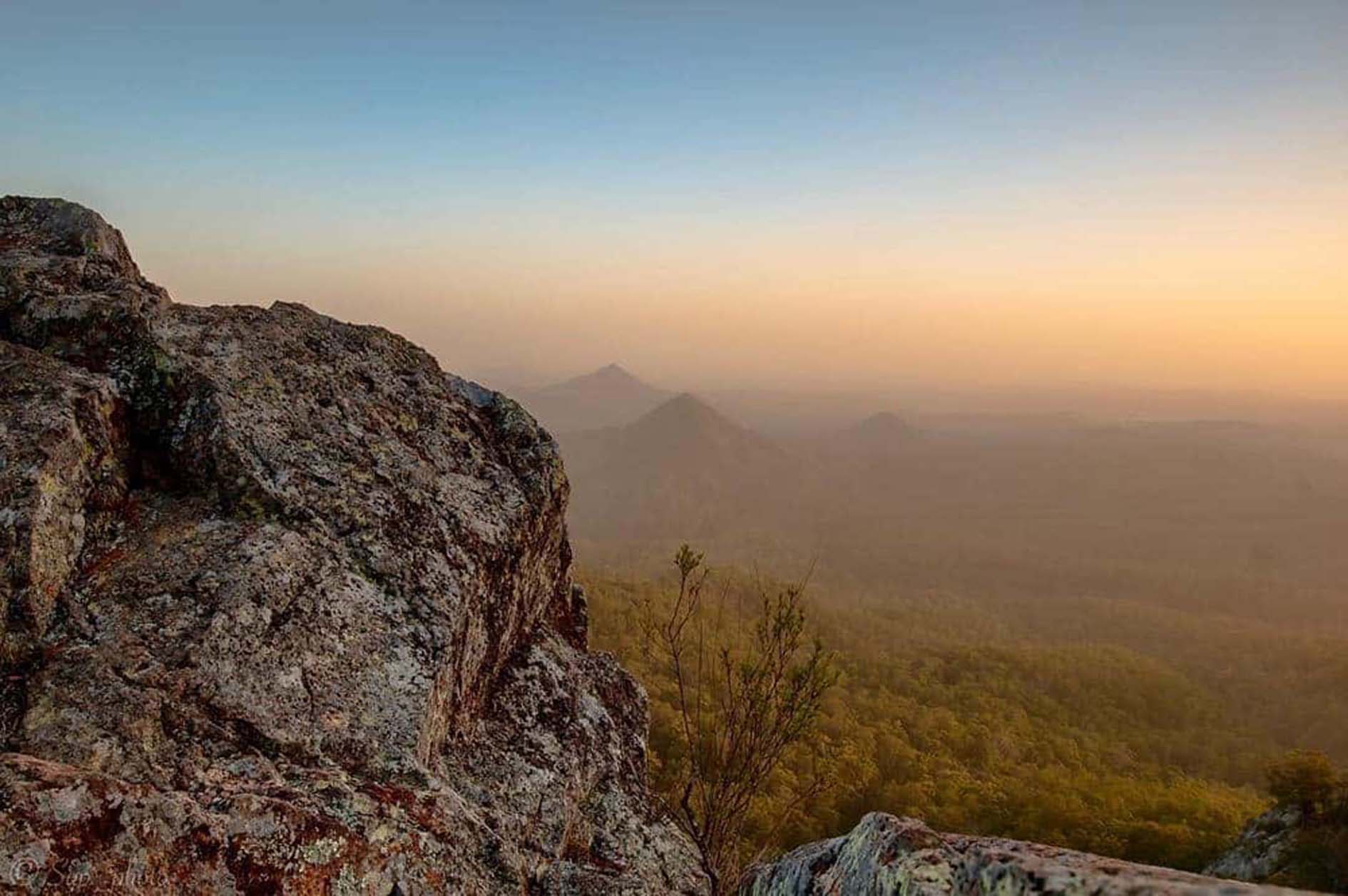
I honestly can’t recommend Mt. Blaine enough. It’s right next to one of our more prevailing formations in Mt. Flinders and hence doesn’t quite get the love it deserves but is absolutely among the best hiking experiences in the Ipswich area. Now this does come with a trade-off and it’s by no means an easy ordeal, but the 360 degree visibility/vision from up top, covering The Teviot Range, The Scenic Rim and even Brisbane City more than makes up for it.
However Blaine isn’t just about the views, it’s unique too. With an ascent along an exposed rocky face and a descent through dry vine rainforest, the journey is a diverse transition of biomes unlike any other in the region – And Being a circuit trail, there isn’t a single step of back tracking along the way.
One minute you’re in the classic Queensland scrub and the next you’re scrambling over windswept volcanic ridges. -Only to disappear back into the cool, dark undergrowth of thick vines and greenery on the other side. It’s truly something special.
But if all that isn’t enough, feel free to check out the teeny tiny Mt. Catherine detour as well. It’s just a little something extra for those of us who feel so inclined.
Access to Mt. Blaine is from the same car park as Mt. Flinders, the Flinders Plum Picnic area in the Flinders-Goolman Conservation Estate. Follow the fire trail most left of the toilet block and proceed via the signs accordingly. See here and here for maps.
Hardings Paddock to Flinders Plum via the Flinders-Goolman Trail
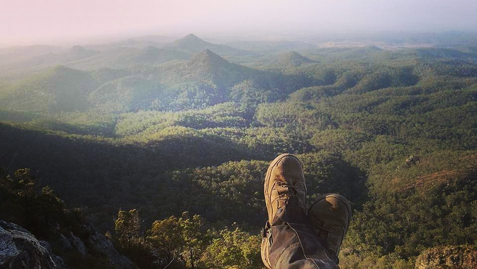
This one right here, she’s a biggin. In fact, I know a few people who’ve been using her as training in preparation for some exponentially more difficult hikes overseas. Cough cough* Kokoda.
So that’s essentially everything you need to know about this walk. It’s hard. Hardings to Flinders does strike a nice balance of effort to scenery but as would be expected in the undulating volcanic terrain of Flinders-Goolman, you’re going to have to pay for it.
Entry is from either Hardings Paddock or the Flinders Plum Picnic area and you can either: pop a car each side and make it a one way trip (11.4km)
Or do it properly, walk the whole thing, climb mount Flinders at the end, double back over Blaine and walk back the way you came (31.09km approximately)
Whatever you decide, for arguably the most comprehensive trail, incorporating a range of aesthetic and fitness based qualities, this is a good place to make it happen.
Check the website or pick up a brochure from the information centre for details.
That’s all for now, see you on the trail!

