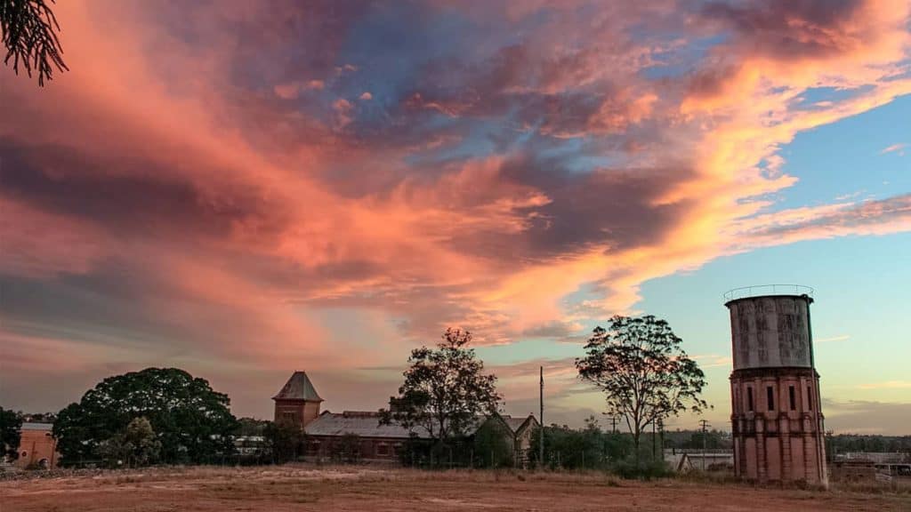
The Great Outdoors
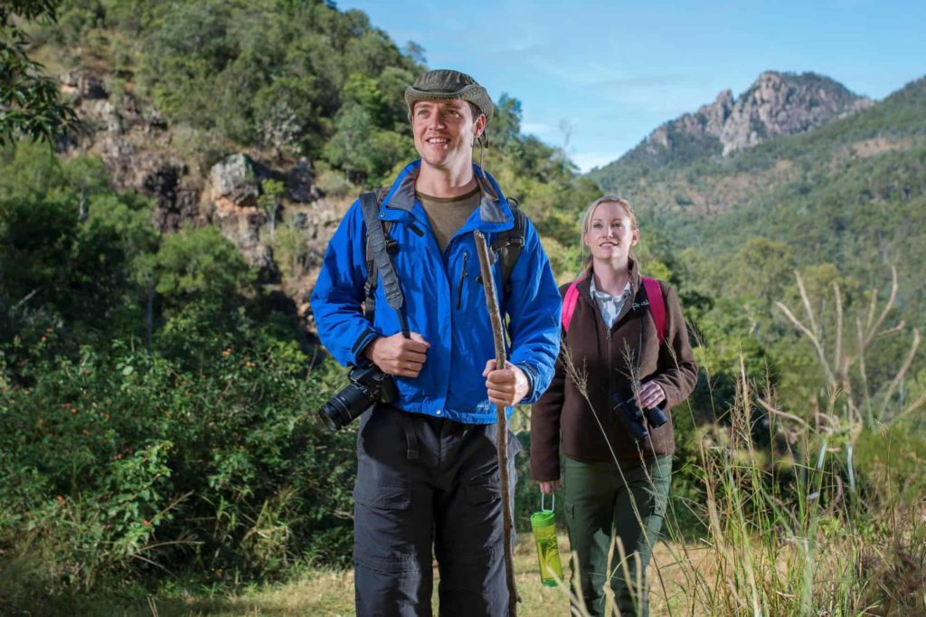
Ipswich hiking
Ipswich has an abundant number of walking trails, many of which are great tracks for both casual walkers and those with more experience who want more of a challenge. This isn’t supposed to be a comprehensive list by any means but provides a selection of some of my favourite walks. I have focused on two areas of Ipswich hiking that provide exciting views, rocky features, and flora and fauna.
Ipswich hiking in Flinders-Goolman Conservation Estate
There are two main starting points depending on which walk you plan on doing. Both parking areas come off signed left hand turns from Ipswich-Boonah Road when travelling towards Boonah. Both have BBQ and picnic areas and are family-friendly: Hardings Paddock Picnic Area (15km from Ipswich CBD)– Part of this may follow a dirt road, but the parking is ample and access is not difficult with a conventional car.
Flinders Plum Picnic area (25 km from Ipswich CBD) – To get there, you will need to drive several kms of unsealed road to the Flinders Plum Picnic area and there may be a small water crossing if it has recently had heavy rain, although most conventional vehicles will make it without much trouble.

1. Galmen Circuit
EASY: This provides a mildly hilly walk from the Hardings Paddock picnic area. It’s wide enough for bikes too so is not just for Ipswich hiking. It’s a good starting point to introduce you to the open eucalypt forests and birdwatching in the area. It is about 3km return and should only take 30-45 mins.. It is not uncommon to spot the odd monitor lizard in this area.
2. Goolman Circuit via Rocky Knoll Lookout
MODERATE: This more challenging 7 and ½ km circuit also started from Hardings Paddock and has a few more hilly bits and rockiness but gives nice views of Brisbane and Ipswich. Depending on vegetation a large flat area at Goolman Lookout can give partially obscured views of the Range.
3. Mount Blaine Trail and Mt Blaine Summit
MODERATE: The hiking trail to near the base of Mt Blaine begins from the Flinders Plum Picnic area and winds up for just over 1km to a lookout that has nice views of Flinders Peak. The return walk back to the picnic area will take about 30-45 mins. For those more adventurous you can scramble up to the summit of Mt Blaine, but there are often no paths, rather I often enjoy the freedom of picking and choosing my way up to the top.
It can be very loose and rocky underfoot and in places also scrubby but the views of the surrounding Teviot range including Flinders Peak and Mt Goolman can be worth it. Definitely only for the more adventurous, and you will need to factor in another additional 1 and ½ hours return to the picnic area.

4. Flinders Peak Summit Trail (North Ridge)
HARD: One of my favourite Ipswich hiking spots, I love for its challenge and views, so I’ll spend a bit of time on this one. Flinders Peak is a very distinct mountain in the Teviot Range about 25km from Ipswich CBD. At 679 m tall it is easily the highest mountain in the greater Brisbane and Ipswich regional areas, and in fact would tower over any of the Glasshouse Mountains.
The views are exceptional from this peak which at the edge of the Scenic Rim and on a clear day offers panoramas looking towards Ipswich and Brisbane CBDs as well as windows to Main Range and Mt Barney National Parks. I have also admired this hike for the many rest points offered on rocky shelves you can find just off the track that tease you with increasingly higher views as you ascend. A Telecommunications tower is strategically placed at the summit but doesn’t detract from any of the views.
The walk itself is not long by distance but is loose and rocky and involves a short scramble so good hiking boots are best for this hike. The usual ascent is via the north ridge of the mountain which starts on a well signed track from the Flinders Plum Picnic area. It is considered steep and an AS class 5 trail and does require good fitness. As you ascend there are exceptional views of the Teviot Range including Mt Blaine to the north and the western plains looking towards the north of Main Range and Toowoomba.
The razorback ridge will get rather rocky but the trail is followed by staying on top of the ridge as much as possible. As the summit comes into view the trail begins to descend at one point and there is a sharp and often unsigned turn up a gully that requires some scrambling. This section is short and there are good hand and foot holds. It is worth noting where you came out of the gully to join the top of the ridge again as this spot is easy to miss on the way back down.

A rocky lookout near here provides exceptional views of the razorback ridge you just climbed as you look back down the trail. (see photo). Near the summit, a flat open area provides a nice lunch spot, and then a short walk up to the tower gives expansive views back to Ipswich and Brisbane. The return back to the car park is via the same route up.
Things to remember – overall, most parties will complete this in under 4-5 hours, with very fit persons completing it in 2-3 hours. Signage will say to prepare for a full day of hiking and certainly this will be true for those who are less confident on rough trails. The route is only partly shaded and can get hot in the warmer months, hence it is best to start as early as possible in the morning to avoid the heat. Be smart and bring a hat, sunscreen and sunglasses as well as plenty of water.
The weather can change suddenly given the height of the mountain so be prepared for all eventualities and carry a jacket in case. It is best to climb this mountain in good weather conditions and avoid if recently wet or expected to rain. Snakes are commonly seen on the trail, especially after some rain, so go slow and scan the path ahead at all times.
A lot of folk use mountains a lot further away to train for big overseas hikes but I find this has been an excellent mountain for me to train for bigger peaks or hikes given its proximity to Brisbane and Ipswich. Perhaps as it was closed for a long time prior to last year, Flinders Peak had remained rather underrated, but it is certainly up there with having one of the best hiking challenges and most rewarding views closer to home.
White Rock – Spring Mountain Conservation Estate
This area is rather open and only partly shady but provides many varying trails for walkers, cyclists and horse-riders. It is best to stay on the main trails as there are signs warning of possible unexploded ordinance in the area given its past use for military purposes. It’s a great place for families but in the middle of summer be sure to stay sun smart and bring plenty of water for the longer trails.
For those like me who prefer to avoid the extremes of heat, it’s usually best to come here in the early hours of the morning or very late afternoon in the warmer seasons. It is accessed via a short section of dirt road that is sealed at the car parking area (which can be limited) and easiest to get to via School Road from Redbank Plains.

1. Little White Rock Lookout Circuit and smaller circuits
EASY: A nice short trail for those who might not want the challenge of getting to the bigger brother. Little White Rock is a smaller sandstone feature. Many birds inhabit the area and the lookout provides descent views of the surrounds. One way is about 600m and will take ½ an hour return. Other notable shorter circuits include The Six Mile Board Walk (300m one way) , Bluff lookout circuit (200m one way).
2. White Rock Multi-user trail
EASY TO MODERATE: This trail has always been one my favourites. By walking standards it isn’t hard and for the most part follows a wide road and is well-signed all the way up to White Rock. White Rock itself is a sandstone feature located upon a ridge significant to the Indigenous peoples who once inhabited the region.
The area was also used by the American military forces early last century. White Rock looks particularly glorious in the very late afternoon and early evening against the backdrop of a setting sun, with its white and orange colours looking rather dapper. There are some small caves and slight overhangs you can see as you walk around its small circumference. The return walk is about 6 and ½ km and should take about 2 hours return for most people.
3. White Rock Ridge Trail
MODERATE: I often use the White Rock ridge trail for the return walk back to the car park after using the Multi-user Trail on the way up (hence completing a circuit) but it can be done as a hike on the way to White Rock and back. From White Rock you follow the ridge heading north-west. It will pass a variety of interesting sandstone outcrops and good sweeping views of the area can be taken in on the top of some of these features.
There are also some more interesting small caves you will pass on the way. This trail is rather rocks and much more uneven so good shoes are a must either for walking or trail running. The trail from white rock descends down to the main multi-user trail via a few steep-ish bends but wont involve any scrambling. It’s a nice way to complete the circuit for those looking for a bit more scenery and challenge. Other longer trails include The Yaddamun Trail (19km return), and Six Mile Creek Track (14km return). It is worth noting some areas are being re-vegetated so it is best to keep on the main trails where possible.
*This Estate remains sacred to the Traditional Owners of Ipswich. Some of the Cultural Landscapes within this estate include White Rock, the caves and outcrop overhangs. These sacred sites are very important to the Traditional Owners as they provide a link between Country and personal identity and allow the passing on of cultural knowledge. As per Cultural Protocol the Traditional Owners have requested no one climbs White Rock.